Community researcher – Nicola Nye
Northernhay Street runs alongside the historic Exeter City wall. It is picturesque and tucked away in the heart of Exeter with a diverse range of architectural styles. Historically, religious, charitable and public buildings have clustered near the top of the street, while residential houses stretch downwards to the original site of the old North Gate. The city wall, dating from the Roman period onwards, forms the garden back wall of properties on the east side of the street.
The name is unique: ‘Northernhay’ means an enclosure to the north of the city and according to Hooker, first appears in the historical record around 1415. Maps from 1792 to the mid 1850s show the earlier name of Northernhay Row. It was originally a trackway, and later a road, which led from North Gate to Northernhay Gardens, a public walk since 1612. Queen Street, at the top of Northernhay Street, wasn’t extended until 1840 when it cut through the city wall.
It’s likely that the name change to Northernhay Street took place when it became an important thoroughfare.
There are 11 listed buildings and 3 further buildings of historic interest. Numbers 2 to 7 form a consecutive group of “probably early eighteenth-century houses with hipped gables, later stucco and nineteenth-century sash windows”. Numbers 4 and 5 belonged to St Anne’s Well Brewery in the late 1880s as did all eight of the houses in Northernhay Square. These were rented to brewery workers until the brewery closed in 1966 and the tenants were able to buy their homes.
Number 13, Padrae Cottage, a substantial U-shaped building also once belonged to the brewery. A gateway leading into the courtyard and stables can still be seen from Northernhay Street and brewery horses would have been stabled here, as well as in the other two brewery owned stables in the street.
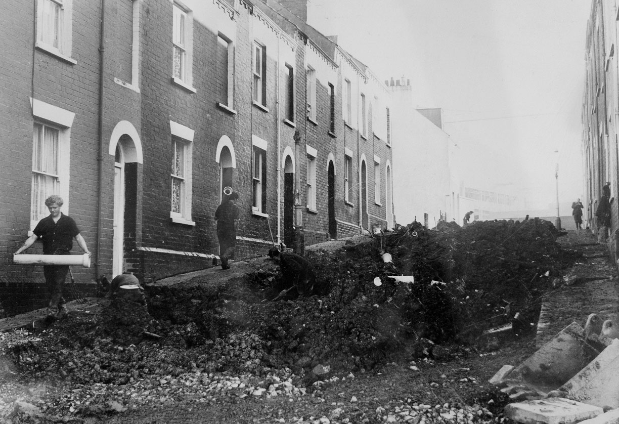
The street’s location, abutting the outer city walls meant all of its buildings were razed to the ground as part of the seventeenth century Civil War improvement of defences. A great defensive ditch was dug immediately outside of the city wall. No buildings earlier than the mid-1650s are thought to have survived.
Detailed records exist of the city funds used to repair the wall and spending, as expected, reached new heights during the seventeenth century. Archaeological work in the 1990s revealed what is thought to be a Purbeck date stone recording these efforts in the wall behind Numbers 46 to 48. Alas, no inscription or date survives but the archaeology report mentions that the Receivers account book, 1643-44, details payments for a date stone, including oil and colours for its painting and lead for the inscription. The investigation also identified gun or musket loops in the wall.